| Yarmouth County,
Nova Scotia Author's Recommendations |
| The Austrian Inn Restaurant (Hwy #1, 2 km north of Yarmouth) |
| Recipe for Le Pâté à la Râpure / Rappie Pie |

| BIRDING
SITES OF NOVA SCOTIA
YARMOUTH COUNTY INFORMATION WEB LINKS |
| Page
Navigation Table |
| Tourism
Information & Orientation |
| Locator Maps for Birding Sites & Routes |
| County Updates (none yet) |
| Weather & Tides |
| Trails |
| Parks
& Protected Areas |
| Cultural
Heritage Attractions |
| Lighthouses |
| Author's Yarmouth County Recommendations |
| Back to Home Page |
| Yarmouth County,
Nova Scotia Tourism & Orientation Web Sites |
| Map of Yarmouth County & Map showing Birding Sites |
| Yarmouth County Information |
| Southwestern Nova Scotia Tourism |
| Evangeline Trail (Scenic Drive) |
| Lighthouse Route (Scenic Drive) |
| Town of Yarmouth & Street Map |
| Ferry Information ("The Cat") -- between Yarmouth and Bar Harbor, Maine |
| Ferry Information ("Scotia Prince") -- between Yarmouth and Portland, Maine [temporarily discontinued] |
| "The Pubnicos" |
| Chebogue Point |
| The Tusket Islands |
| Communities of Yarmouth County -- Web Site Index |
| Map of Seal Island & Seal Island Sailing Directions |
| Ted D'Eon's Yarmouth Science Pages (Roseate Tern, Atlantic Puffin, etc) |
| Yarmouth County,
Nova Scotia Weather & Tides Web Sites |
| WEATHER
|
| Town of Yarmouth inland weather forecast |
| Lurcher marine weather forecast |
| South Western Shore marine weather forecast |
| TIDE TIMES - GULF OF MAINE (NW to SE) |
| Port
Maitland tide
times & locator
map |
| Yarmouth tide
times & locator
map |
| Bunker Island Wharf
tide
times & locator
map |
| Sand
Beach (Yarmouth Harbour) tide times & locator
map |
| Kelleys Cove (Chebogue Point)
tide
times &
locator
map |
| Pinkneys Point tide times & locator map |
| Tusket tide
times &
locator
map |
| Abrams River (Ste Anne du Ruisseau) tide
times
& locator
map |
| Wedgeport tide times & locator map |
| Lower Wedgeport tide
times &
locator
map |
| Abbotts Harbour (Pubnico Peninsula) tide times & locator map |
| Lower East Pubnico tide
times &
locator
map |
| Seal Island tide times & locator map |
| Yarmouth County,
Nova Scotia Trails Web Sites |
| Site C2 - Utkubok Trail (Arcadia Consolidated School) Trail -- Locator Map, Trail Map & Description |
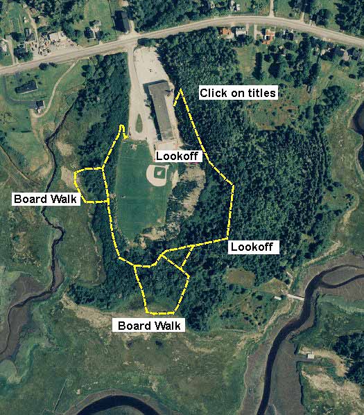
| Site C4 - Wedgeport Nature Trail -- Locator Map, Trail Map & Description |
| Site D2 - Ellenwood Lake Provincial Park Trail -- Locator Map, Trail Map & Description |
| West
Pubnico Coastal Trail -- Locator
Map, Trail Map
& Description |
| Yarmouth County,
Nova Scotia Parks & Protected Areas Web Sites |
| Atlantic Bird Observatory - Seal Island & Volunteer Info |
| Ellenwood Lake Provincial Park |
| Tusket River Nature Reserve |
| Spinneys Heath Nature Reserve |
| Great Barren & Quinan Lakes Nature
Reserve |
| Tobeatic Wilderness Protected Area |
| Yarmouth County,
Nova Scotia Cultural Heritage Attraction Web Sites |
| Town of Yarmouth |
| Yarmouth County Museum & Archives |
| Art Gallery of Nova Scotia |
| Firefighters' Museum |
| Pelton-Fuller House Museum |
| Killam Brothers' Shipping Office Museum |
| Ste. Anne Church & Commemorative Chapel |
| Th'Yarc Theatre |
| Elsewhere in Yarmouth County |
| Tern Festival (Village of West Pubnico) |
| Musée Acadien et Archives – Acadian Museum & Archives (Village of West Pubnico) |
| Le
Village historique acadien de la Nouvelle-Écosse (Village of West Pubnico) (Historical Acadian Village of Nova Scotia) |
| Argyle Township Court House & Archives (Community of Tusket Village) |
| Wedgeport Sport Tuna Fishing Museum (Village of Wedgeport) |
| History of Outer Baldonia (Outer Bald
Tusket Island) (now
owned by the N.S. Bird Society) |
| Yarmouth County,
Nova Scotia Lighthouse Web Sites |
| Gulf of Maine Shore (NW to SE) |
| Cape Forchu Lighthouse & locator map |
| Bunker Island Lighthouse & locator map |
| Green Island Lighthouse & locator map |
| Candlebox Island Lighthouse & locator map |
| Pease Island Lighthouse & locator map |
| Tusket River Lighthouse & locator map |
| Whitehead
Island Lighthouse & locator
map |
| Abbotts Harbour Lighthouse & locator map |
| Pubnico Harbour Lighthouse & locator map |
| Seal
Island Lighthouse & locator
map [N 43°23'41", W 66° 0' 52.2"] |
| Yarmouth County,
Nova Scotia Author's Recommendations |
| The Austrian Inn Restaurant (Hwy #1, 2 km north of Yarmouth) |
| Recipe for Le Pâté à la Râpure / Rappie Pie |