| A Photo Diary: Musquodoboit Trailway, Nova Scotia, Canada 19 August 2006 |
by Blake Maybank
sponsored by
In Mahone Bay, Nova Scotia (902) 624-0784
(888) 660-6529 [toll-free Canada]
Page Highlights:
Excursion Notes
Photos
Bird List
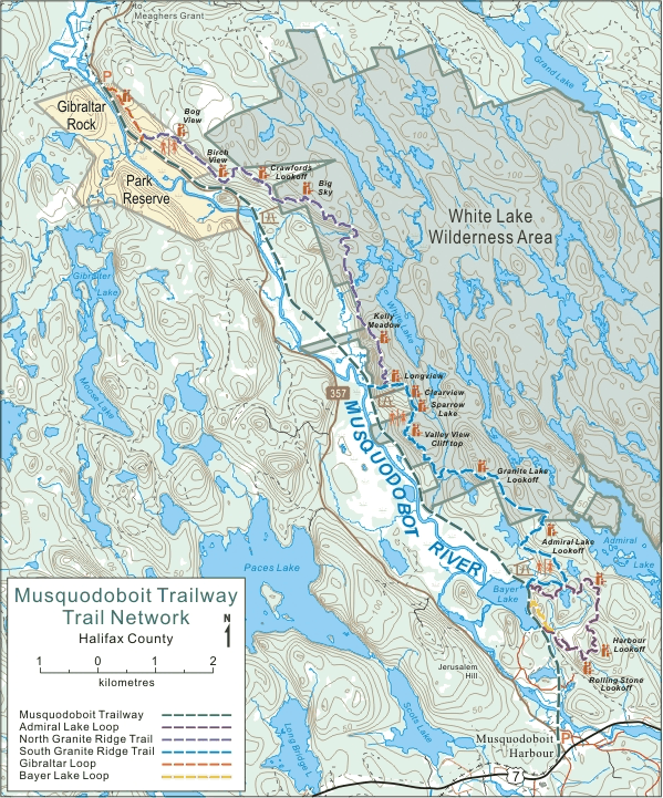
Site Orientation
Trailway Map
Related Links
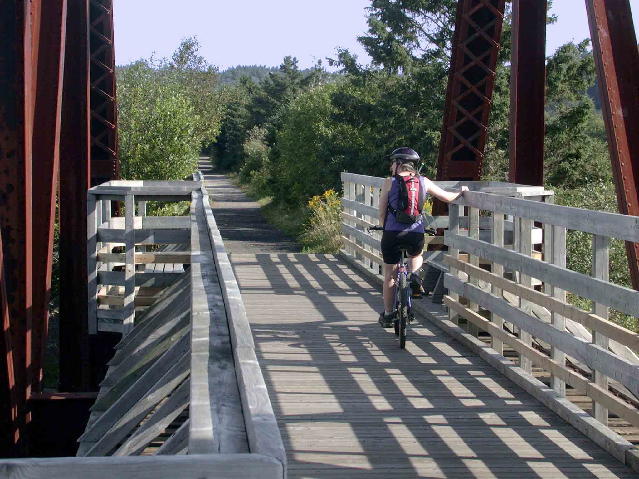
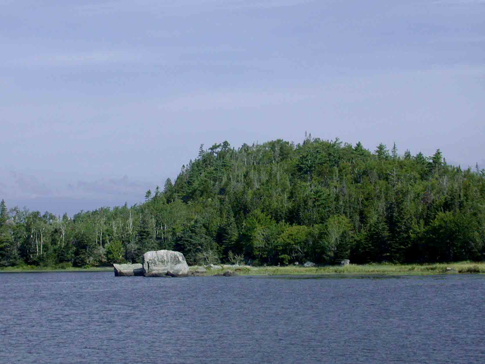
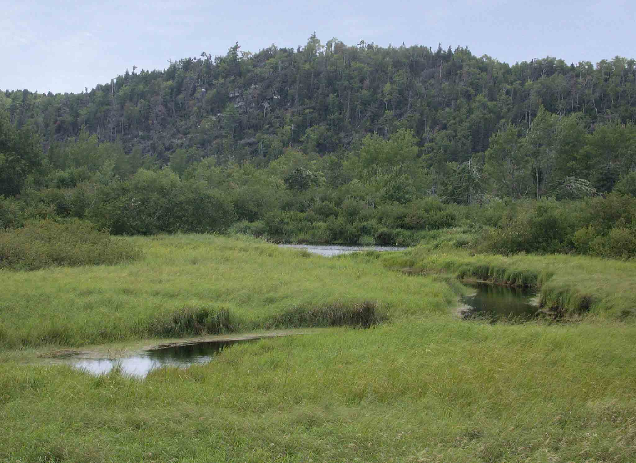
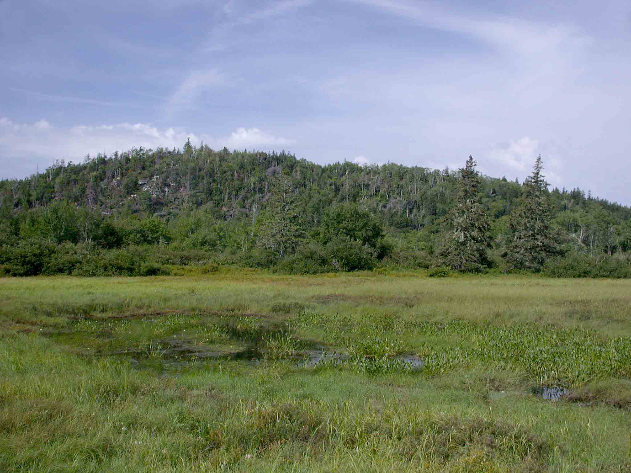
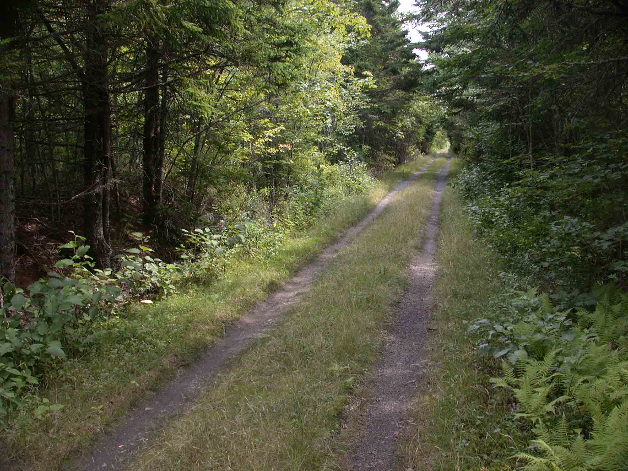
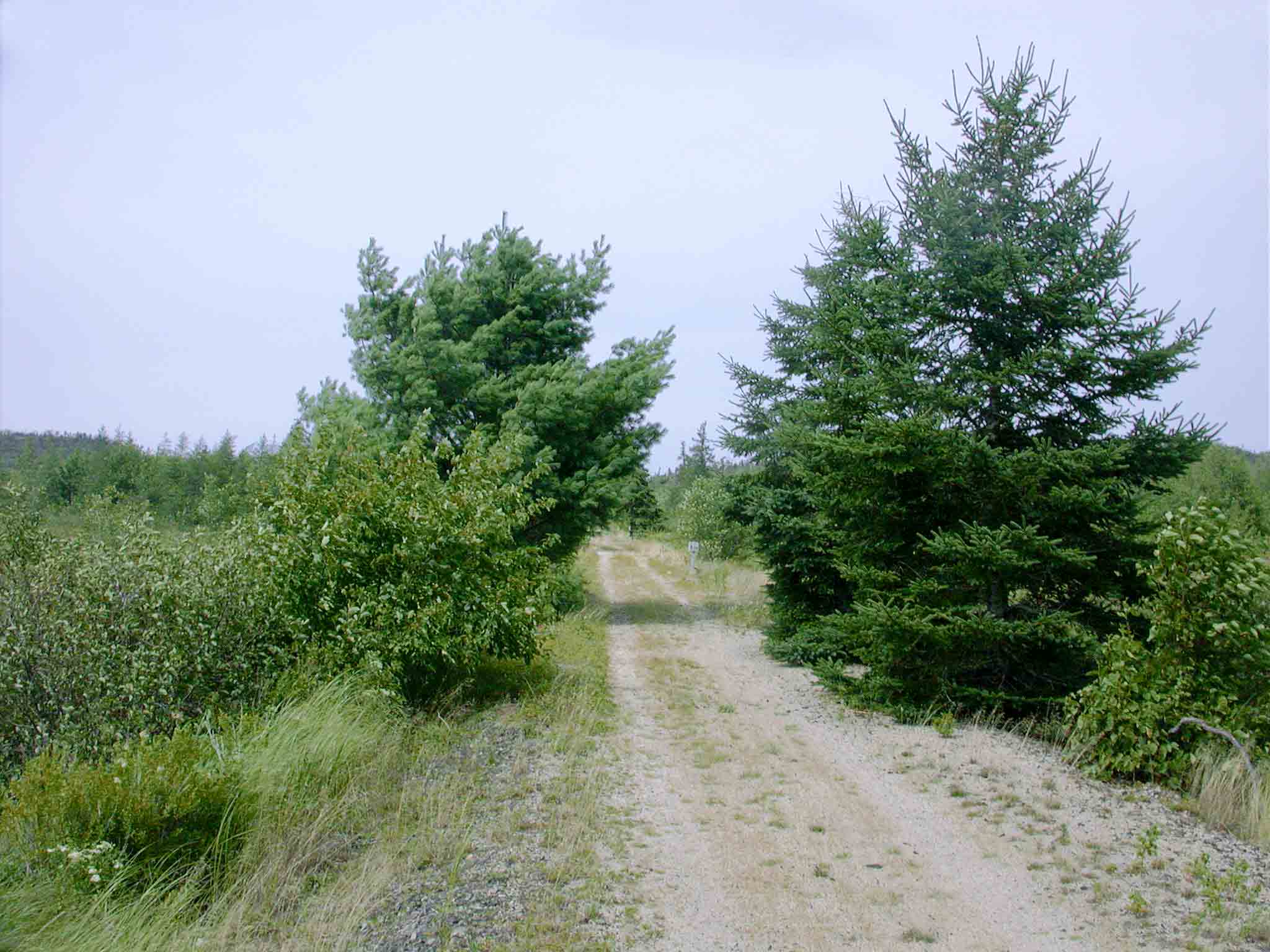
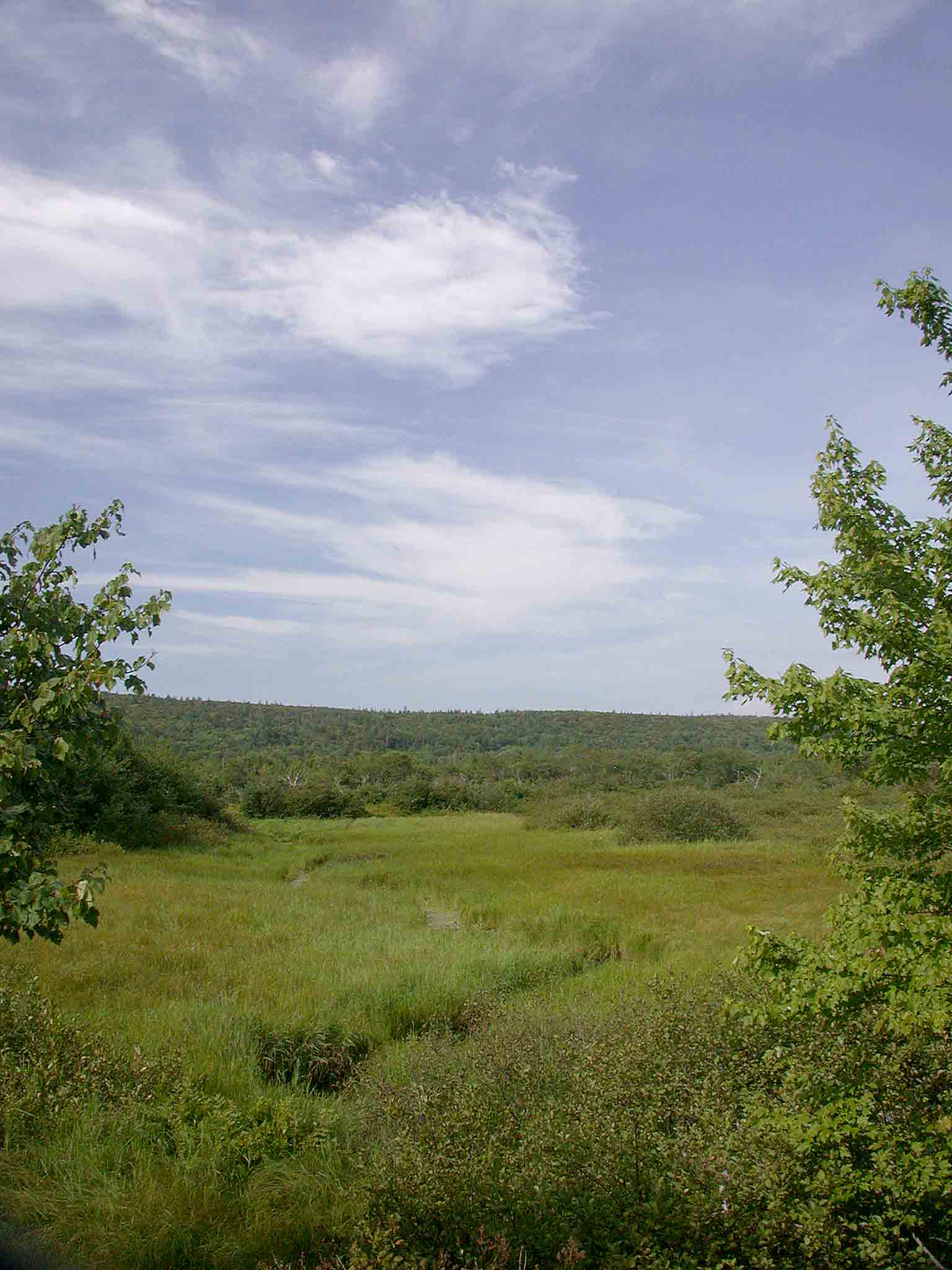
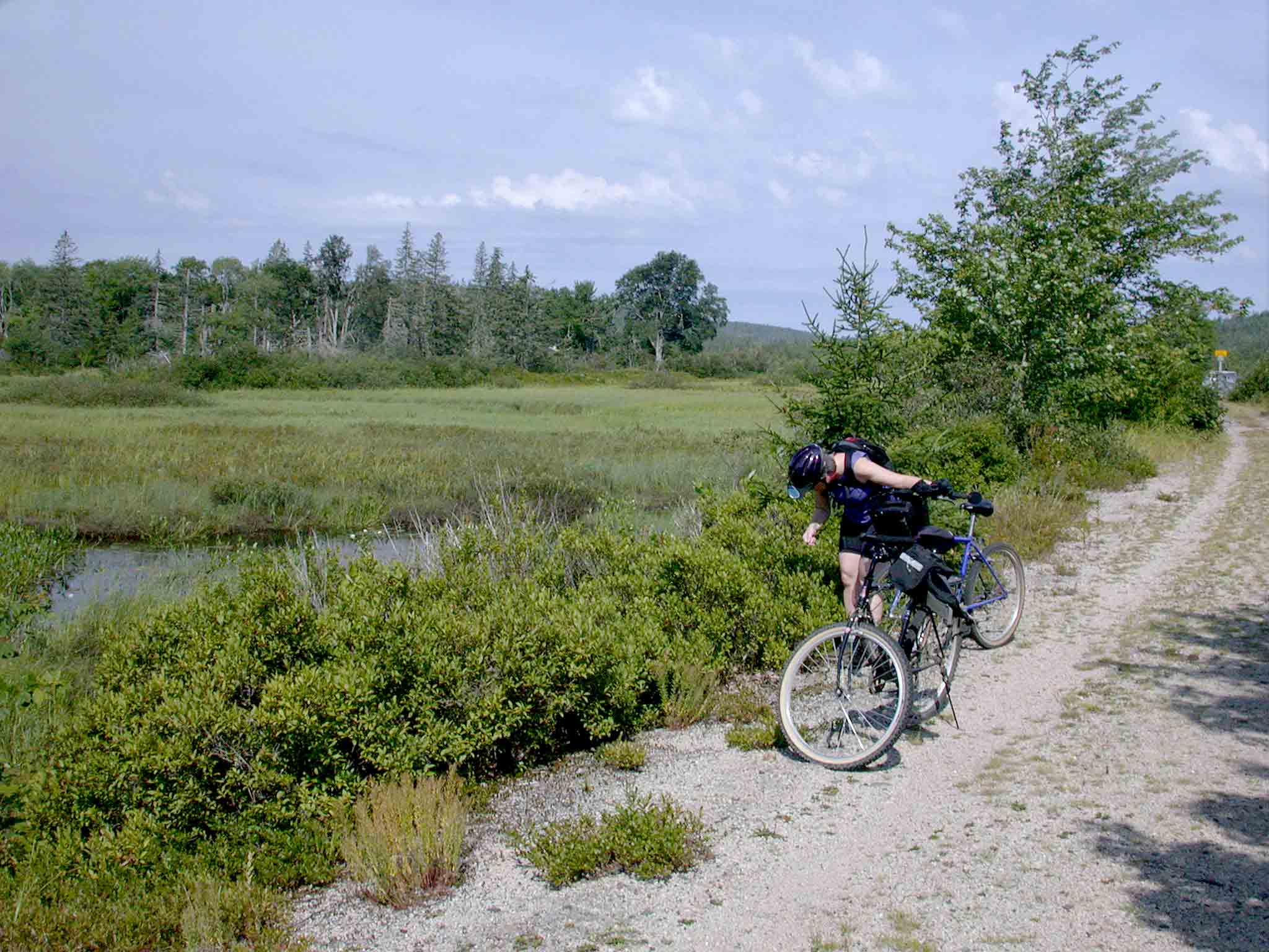
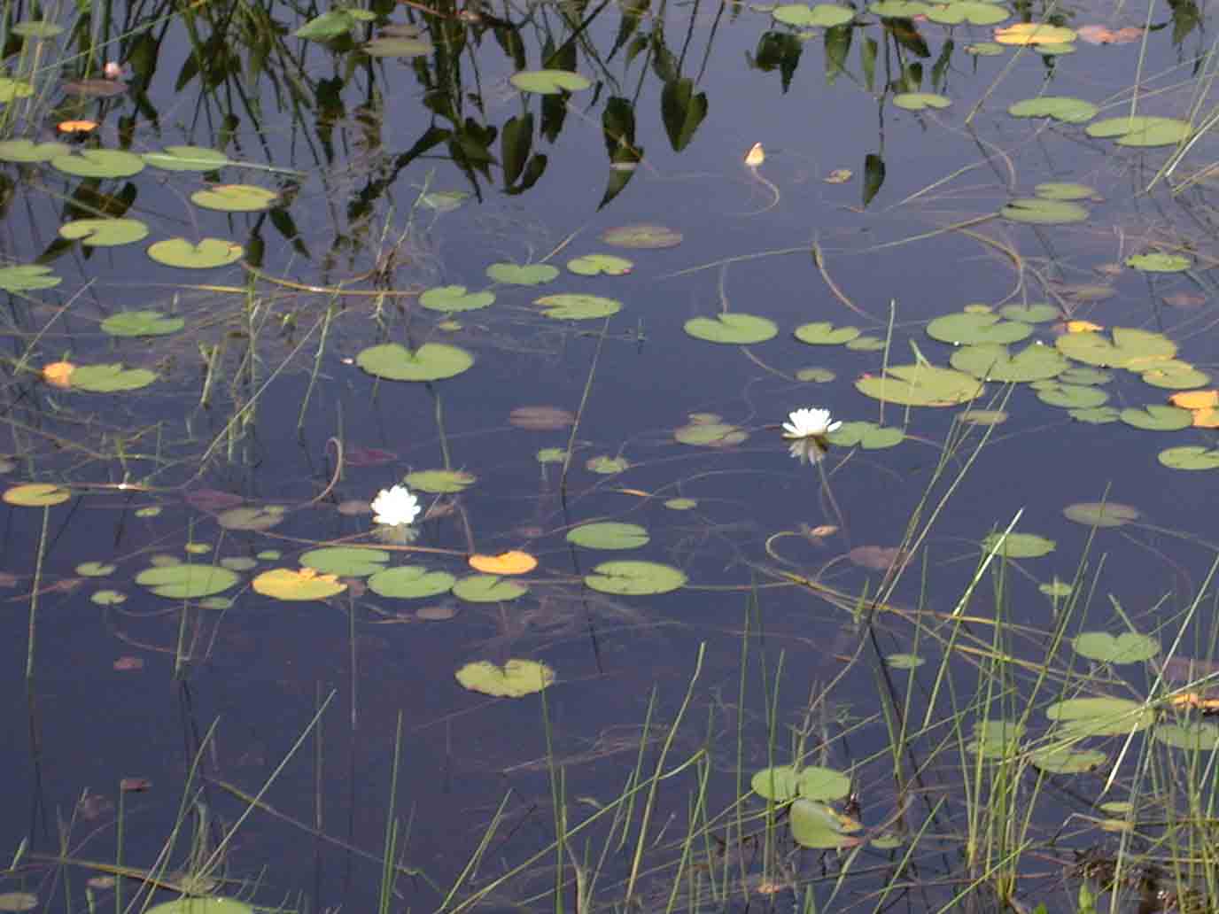
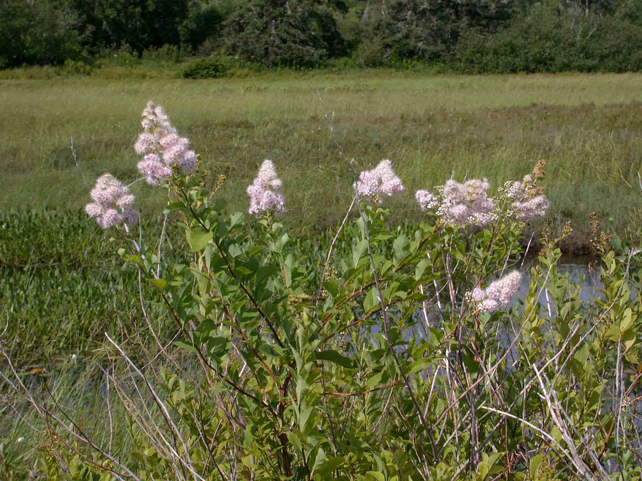
| Excursion Notes On Saturday 19 August 2006, we cycled the 15 km Musquodoboit Trailway from the village of Musquodoboit Harbour to Gibraltar Rock and back. It is hard to imagine a more ideal day for the excursion; sunny, warm (24°C), and a cooling breeze. Biting insects were infrequent and indolent, and birds and berries abounded. Being a confirmed Nerd-Naturalist I carried a variety of electronic gear, including a digital camera, GPS, and palm pilot. Being on a bike precluded scope, tripod, or telephoto lens, so photos were restricted to landscapes. We felt blessed, and we will leave aside the debate regarding from whom or what the blessings derive. I frequently feel blessed when I explore Nova Scotia, an emotion whose genesis I trace to diverse nature, pleasing landscapes, and a dearth of people. I’ve had a number of visits to England and Europe under my belt, and as we cycled the Musquodoboit Trailway I tried to imagine how many people might use a similar cycle route "across the pond". I tried to picture “hordes”, but couldn’t quite grasp the concept. Many more, certainly. On our six-hour outing, in perfect weather on a summer Saturday, we encountered precisely four cyclists, three hikers, and four dog-walkers accompanied by eight dogs. For nearly all our time afield we were alone. Exquisite, yet mildly depressing, as the Trailway does lie within 40 km of 400,000 people, many of which surely would benefit from some physical exercise and mental stimulation. But on to our own mental stimulation. There were numerous small flocks of post-breeding pre-migrating passerines, almost invariably centered on garrulous groups of Black-capped Chickadees, and occasionally Golden-crowned Kinglets. Even stopping for only one flock in three we took nearly four hours to cycle the outward leg of the trail. I bypassed most of the flocks on the return journey. The day’s bird list is here. (A more comprehensive list of the species I’ve recorded in this portion of the Musquodoboit River Valley is accessible through the links below. As this is an inland area the list is composed primarily of breeding birds, with few passage migrants or vagrants). We were also waylaid by diverse and numerous berry bushes: Huckleberry (Gaylussacia baccata) Raspberry (Rubus idaeus) Lowbush Blueberry (Vaccinium angustifolium) Common Blackberry (Rubus allegheniensis) Chokecherry (Prunus virginiana) Bunchberry (Cornus canadensis) Partridgeberry (Vaccinium vitis-idaea) Black Chokeberry (Aronia melanocarpa) We sampled all but the Partridgeberry, the only species not yet ripe. The Trailway itself was in fine fettle between Musquodoboit Harbour and Kelly Meadow, but a rough patch followed, with sections of course gravel, loose sand, and some small rocks and annoying roots. But that is why we were on mountain bikes. Hikers would have no difficulty. It was a wonderful visit to a remarkable environment. We shall return. |
Scroll Down. . .
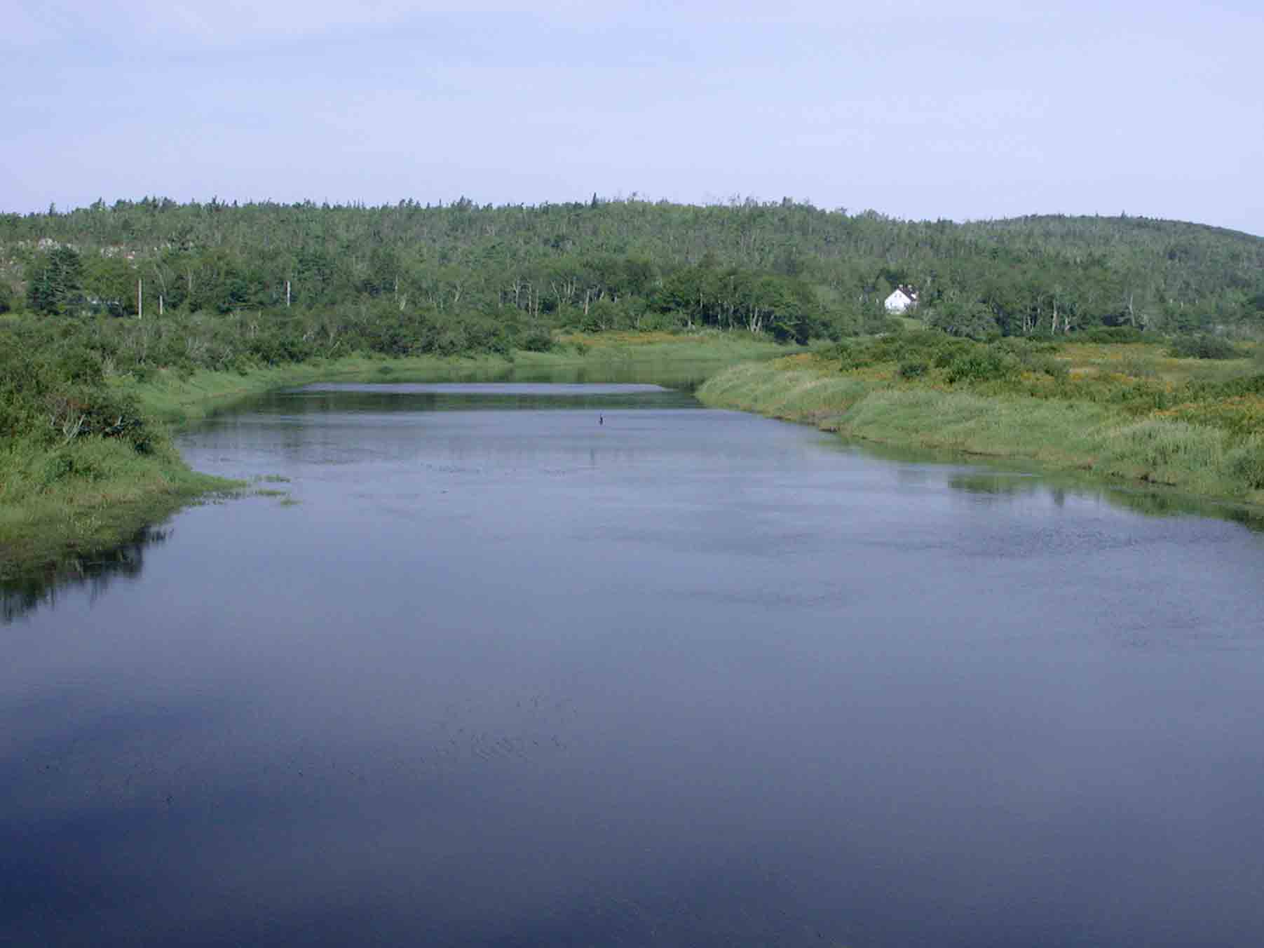
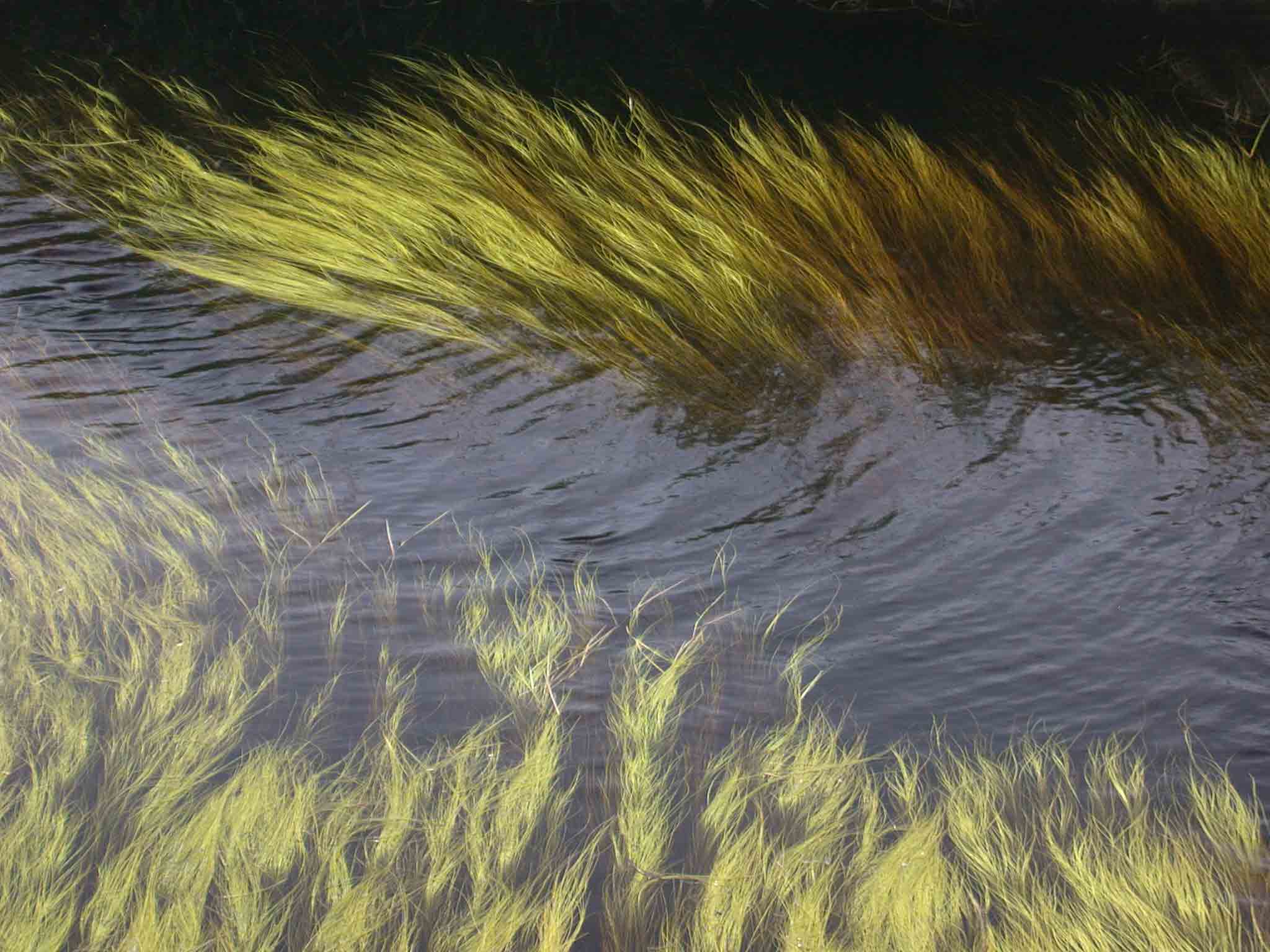
The Musquodoboit River looking west from the Railroad Bridge Pool
photo © 2006 by Blake Maybank