24 June - 13 July 2007
by Blake Maybank
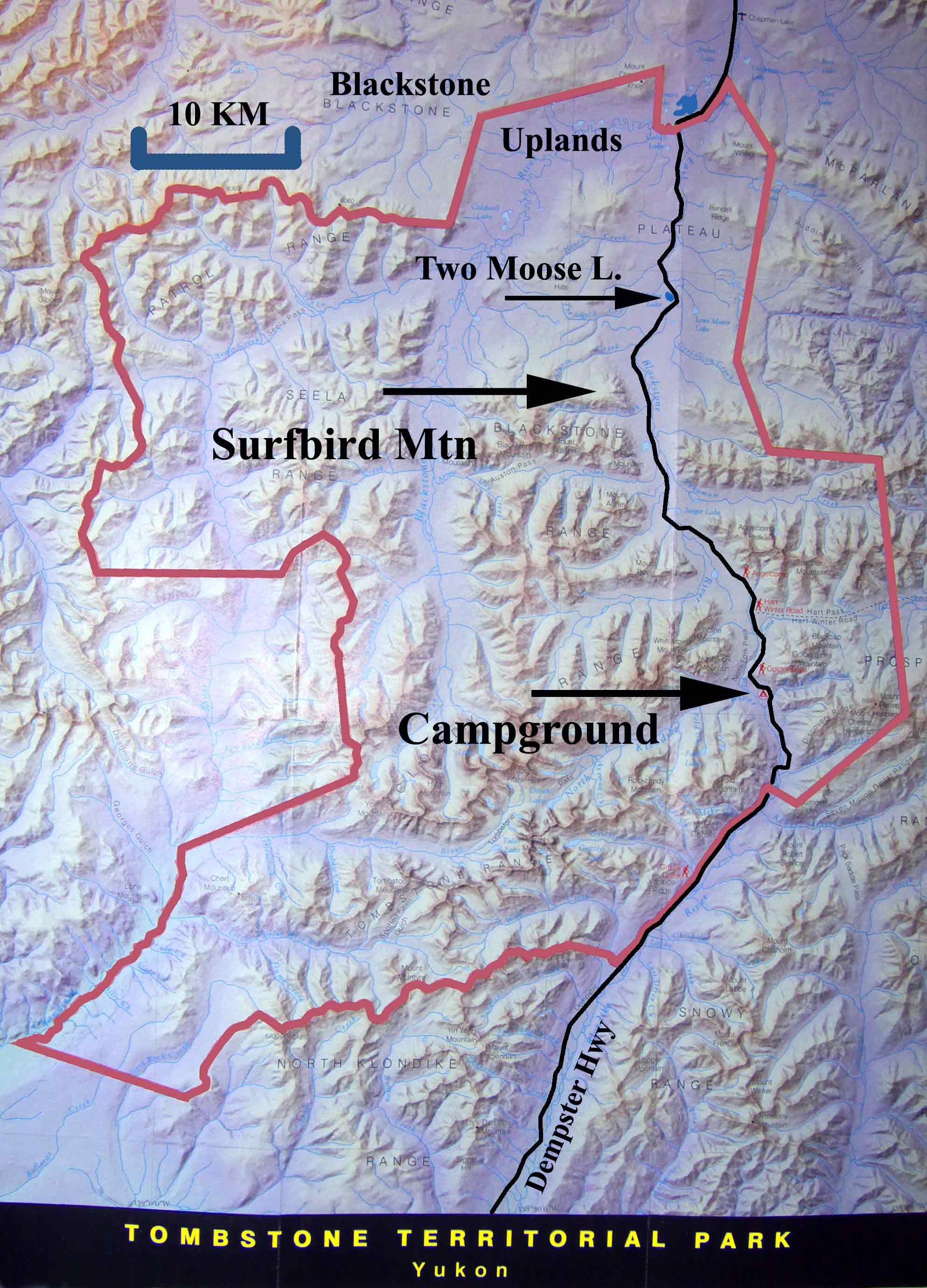
Page 2 (27-29 June)
(Return to Page 1)
Knowing as we did that the weather was
better, on average, in the mornings, we chose to rise early for our
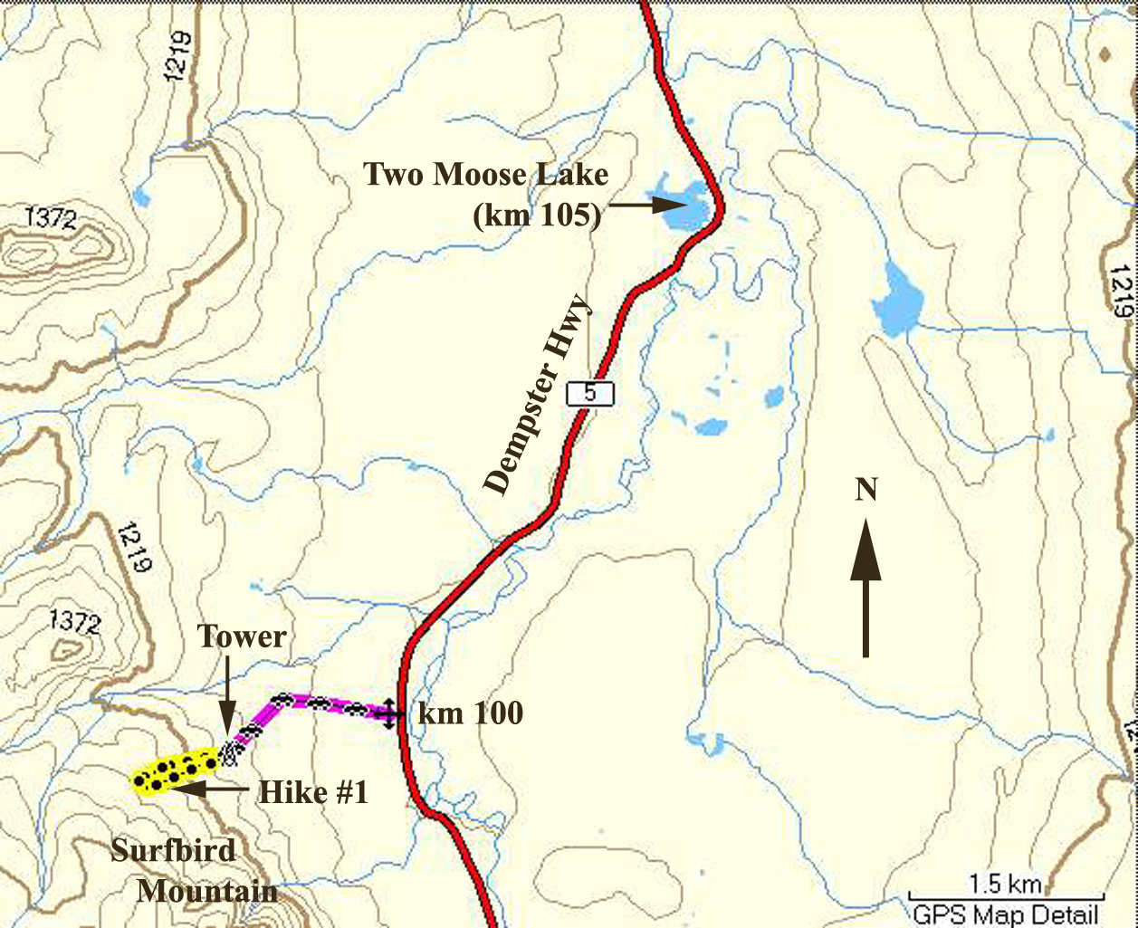
hike part way up the side of Goldensides Mountain. The
trailhead is quite close to the campground. Drive north on
the Dempster Highway for less than 2 km, and turn right on an unmarked
gravel road, which arrives, in about 1 km, at a communications
tower. The signed trail-head is beside the parking area outside
the fenced tower. The elevation here is about 1330 metres,
and the trail, of course, goes mostly uphill, though there is a small
valley to cross as you go. Here is the profile of our hike.
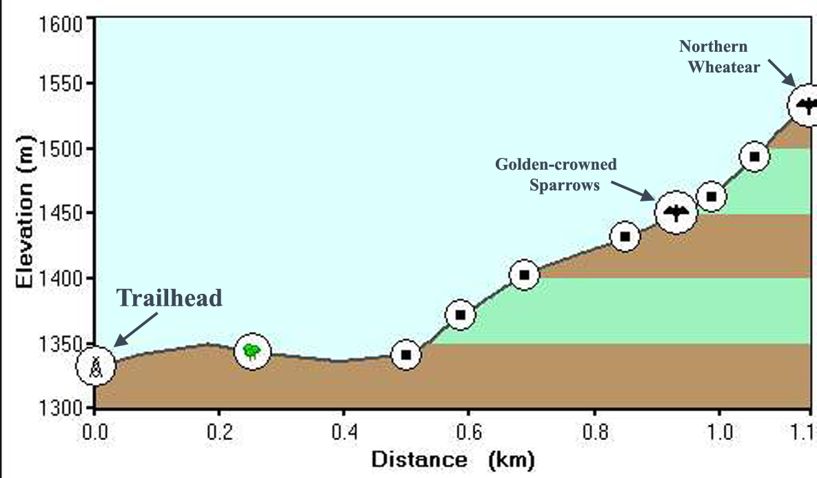
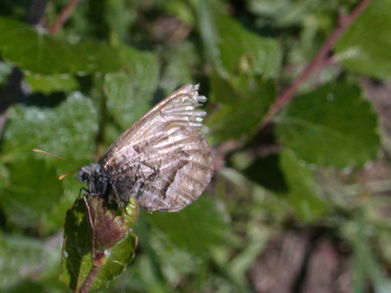
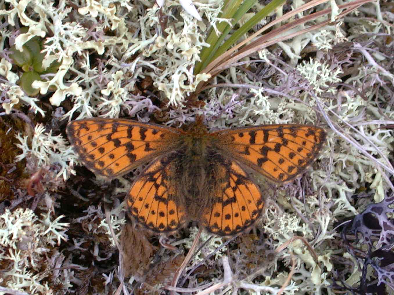
The trail is easily discerned, and we stopped often as we went, as
there were many flowers to photograph. Birdlife was not too
diverse, as expected, though it was wonderful being surrounded by the
constant singing of White-crowned and American Tree Sparrows, as well
as Common Redpolls. Higher up on the mountain flanks we
encountered a family group of Golden-crowned Sparrows, and at the point
where we halted our ascent, at roughly 1540 metres, I could hear, and
eventually saw, a Northern Wheatear
higher up the mountain. The bird was undertaking display
flights from a saddle ridge, and I could see him in silhouette on the
ridge when he rested between flights. A new bird for my
Yukon list was a nice reward for a long hike.
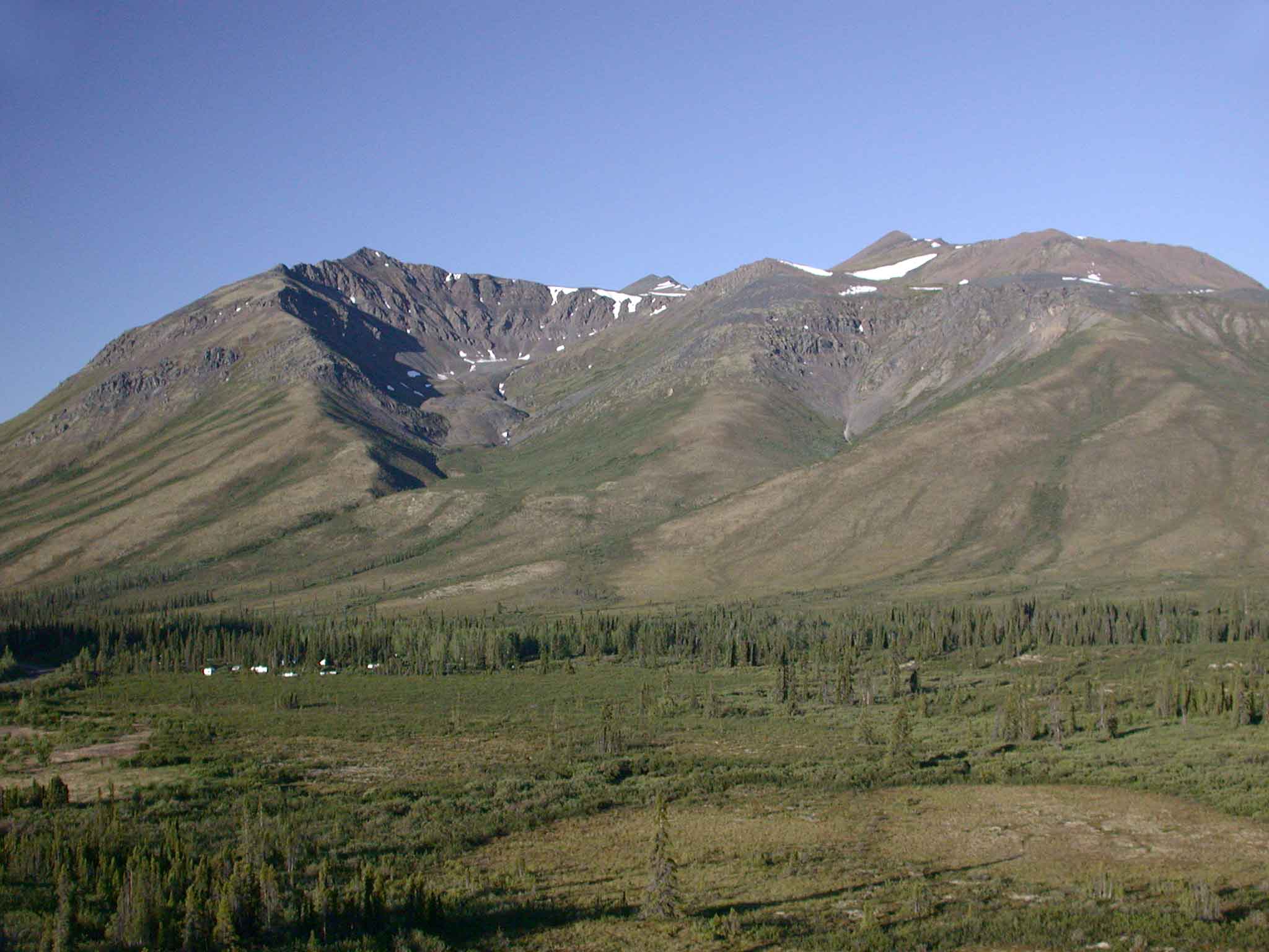
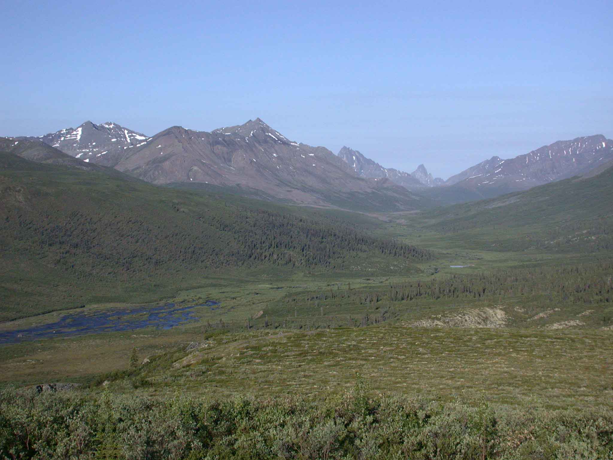
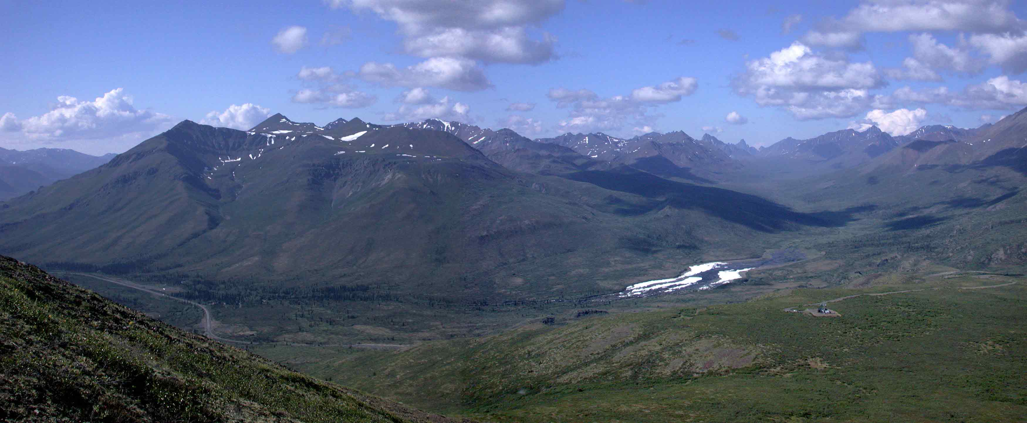
And so was the view. Here is a panorama shot from the
high point of our hike, showing the campground, the North Klondike
River, Tombstone Mountain, and the trailhead.
 - - - - - - -

Back
To Page
1